walking trails

Serrallonga trail DESACTUALITZAT

The Serrallonga trail (GR178) crosses the Guilleries and is of great historical, landscape and fauna interest. The main route joins Santa Coloma de Farners with Sau, passing by Osor. It also has two variations that link the populations of Anglès and Sant Hilari Sacalm with this route.

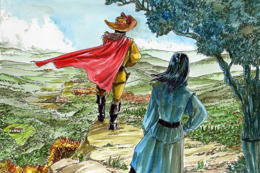
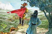
The route will take walkers around the most beautiful places in the biography of the mythical bandit: crossroads where he carried out robberies (Roscall hill), hills where the Catalan militia waited for him (Nafré hill and Querós hill), places where he married and lived (can Serrallonga), country houses and caves where he hid and also the place where he was captured (ca l'Augustí).

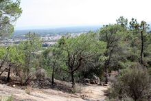
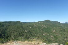
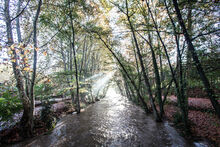
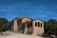
The landscape is captivating, uninhabited and wild, with a wide botanic variety due to continuous changes of gradient and chains of mountains and torrents. You will pass places where man has left traces of daily life for centuries, in the form of sanctuaries, hermitages, country houses and ice wells, and you will reach Osor at the end of the trail.

This route is designed for walkers and you can walk between the two populations in one day. You may also do a shorter route, starting at one point and returning to the same place. Among these, we especially recommend trails that start at Sobirà or the Coll sanctuary, with fantastic panoramic views and easy access for all types of vehicles.

Starting point: Santa Coloma de Farners Town Square

End point: Sau Reservoir Damn

Approximate distance of the trail: 56 km

Maximum gradient: 800 metres

Difficulty: medium

Type: linear

Signposting: white and red posts corresponding to the long course trails (GR)

The long trail GR 178 is divided into 4 stages:

Stage 1: Santa Coloma de Farners – Osor -28 km
Stage 2: Osor –Sau Reservoir Damn -28 km
Variation 1: Anglès – Collado de Roscall -7 km
Variation 2: Sant Hilari Sacalm – Collado de Serrallonga -14 km

Other walking trails

The Trail of the 10 Hermitages is a 66km circular route around the Guilleries. The trail can be completed in more or fewer days, depending on the physical fitness of the individual walker. It is normally completed in 3 stages, each one being around 22 km long. The trail...
In the middle of the mountains of Santa Coloma de Farners we can discover different buildings in a Romanesque style, which is very characteristic of our country. This itinerary will allow us to get to know a heritage that it’s really well known and loved by the people who...
This route joins the small chapel of Farners  with the hill of el Far or Sant Pere Vell, located between Sant Pere Cercada and Argimon.  The highest point of this itinerary is the hill of el Far, located at 567 meters above sea level, and where we can find  the...
The Hazelnut Tree Trail links the populations of Santa Coloma de Farners, Brunyola and Anglès. During the trail, you can discover the many hazelnut plantations in the area. If you are interested, Brunyola hosts the Hazelnut Festival during the first week of October, which...
The  Segadors (harvestmen) Trail recalls an important part of the history of Catalonia: when the Spanish troops stayed here and were cared for by the Catalans during the war against the French, which ended with the Treaty of the Pyrenees, the peasants rebelled against the...
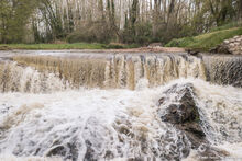
You can take a stroll along the Santa Coloma stream course with the company of its waters and the view of the Argimon sanctuary on top of the mountains.  You can star the route in the capital of La Selva, Santa Coloma de Farners, walking through the Sant Salvador Park...
With this itinerary you will be able to hike up to the small chapel of Farners through the old pathway. This itinerary starts at a stream pool called Gorga d’en Vilà, and it passes through the spot of the dancing holm oaks, alzines balladores in Catalan. In this spot,...
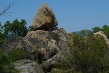
Over the course of the el Rocar Trail, you will be able to discover many sculpted granite formations in curious shapes, which are the result of erosion suffered over time, as well as some panoramic views of the town as you climb the mountain. The ascent passes by the rocks...
On this route, you will be able to admire the most unique places that surround Santa Coloma, the Sant Salvador Park. On the one hand, the Water Trail runs from the spa Termes Orion to the Picant fountain. This is a very easy route that crosses the park with its...
The Serrallonga trail (GR178) crosses the Guilleries and has a lot of historical, scenic and fauna interest. The main route joins Santa Coloma de Farners with Sau, passing by Osor. It also has two variations that link the populations of Anglès and Sant Hilari Sacalm with...
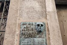
This itinerary allows us to discover the spaces that Santa Coloma de Farners has dedicated to Salvador Espriu as well as to go into the work of Espriu through a selection of his writings. The relationship between the poet and the city is expressed in the geography of Santa...
The poetic itinerary of Joan Vinyoli allows us to discover de “magic domain” of poetry of this fascinating poet, one of the most communicative poets of the catalan poetry of all times. The itinerary takes place at the Sant Salvador park, a space of exquisite beauty...
Cookies help us deliver our services. By using our services, you agree to our use of cookies Learn more
ACCEPTAR